John Muir Trail: Day 6
From the north side of Crabtree Meadows to my campsite near the bear box at Tyndall Creek. Just interested in the photos? Jump to my gallery page: Day 6

| Hiking Statistic | Value | Source |
| Miles Hiked | 9.18 | CalTopo |
| Maximum Elevation | 11,433 | CalTopo |
| Minimum Elevation | 10,391 | CalTopo |
| Elevation Gained | 1,865 | CalTopo |
| Elevation Lost | 1,577 | CalTopo |
| Calories Burned | 3,884 | FitBit |
| Steps | 33,230 | FitBit |
| Distance | 13.88 | FitBit |
| Floors | 163 | FitBit |
| Minutes Sedentary | 442 | FitBit |
| Minutes Lightly Active | 255 | FitBit |
| Minutes Fairly Active | 172 | FitBit |
| Minutes Very Active | 173 | FitBit |

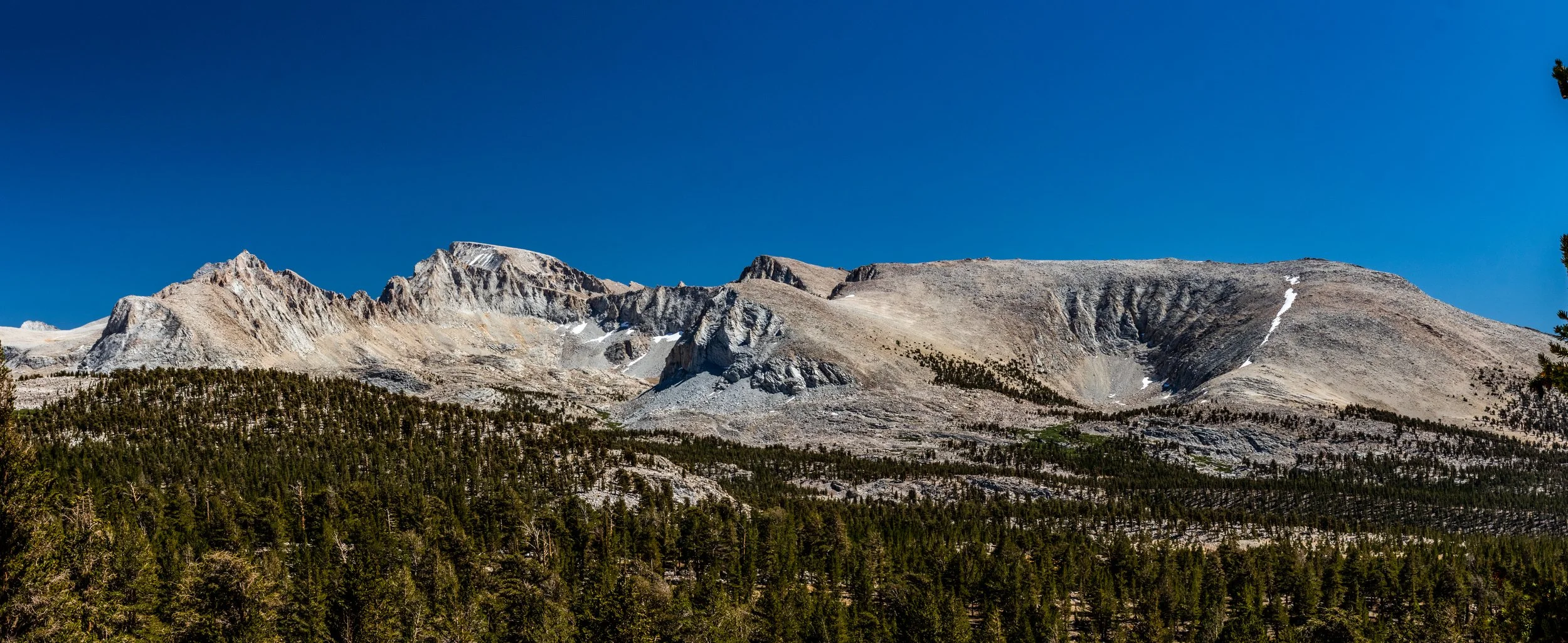
Photos from Day 6: