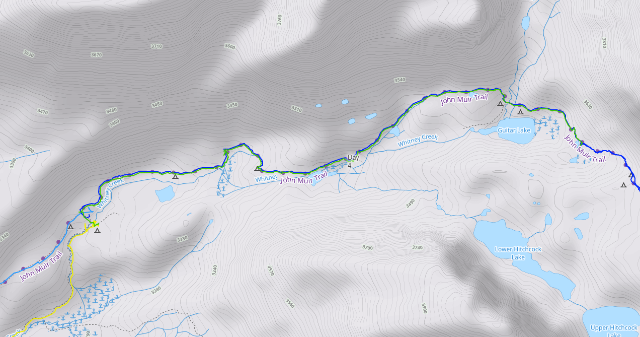
John Muir Trail: Day 4
From my campsite on the south side of Crabtree Meadows to my camp by a tarn above Guitar Lake. Just interested in the photos? Jump to my gallery page: Day 4
| Hiking Statistic | Value | Source |
| Miles Hiked | 3.6 | CalTopo |
| Maximum Elevation | 11,647 | CalTopo |
| Minimum Elevation | 10,641 | CalTopo |
| Elevation Gained | 1,239 | CalTopo |
| Elevation Lost | 238 | CalTopo |
| Calories Burned | 3,438 | FitBit |
| Steps | 16,486 | FitBit |
| Distance | 6.88 | FitBit |
| Floors | 69 | FitBit |
| Minutes Sedentary | 323 | FitBit |
| Minutes Lightly Active | 198 | FitBit |
| Minutes Fairly Active | 144 | FitBit |
| Minutes Very Active | 135 | FitBit |

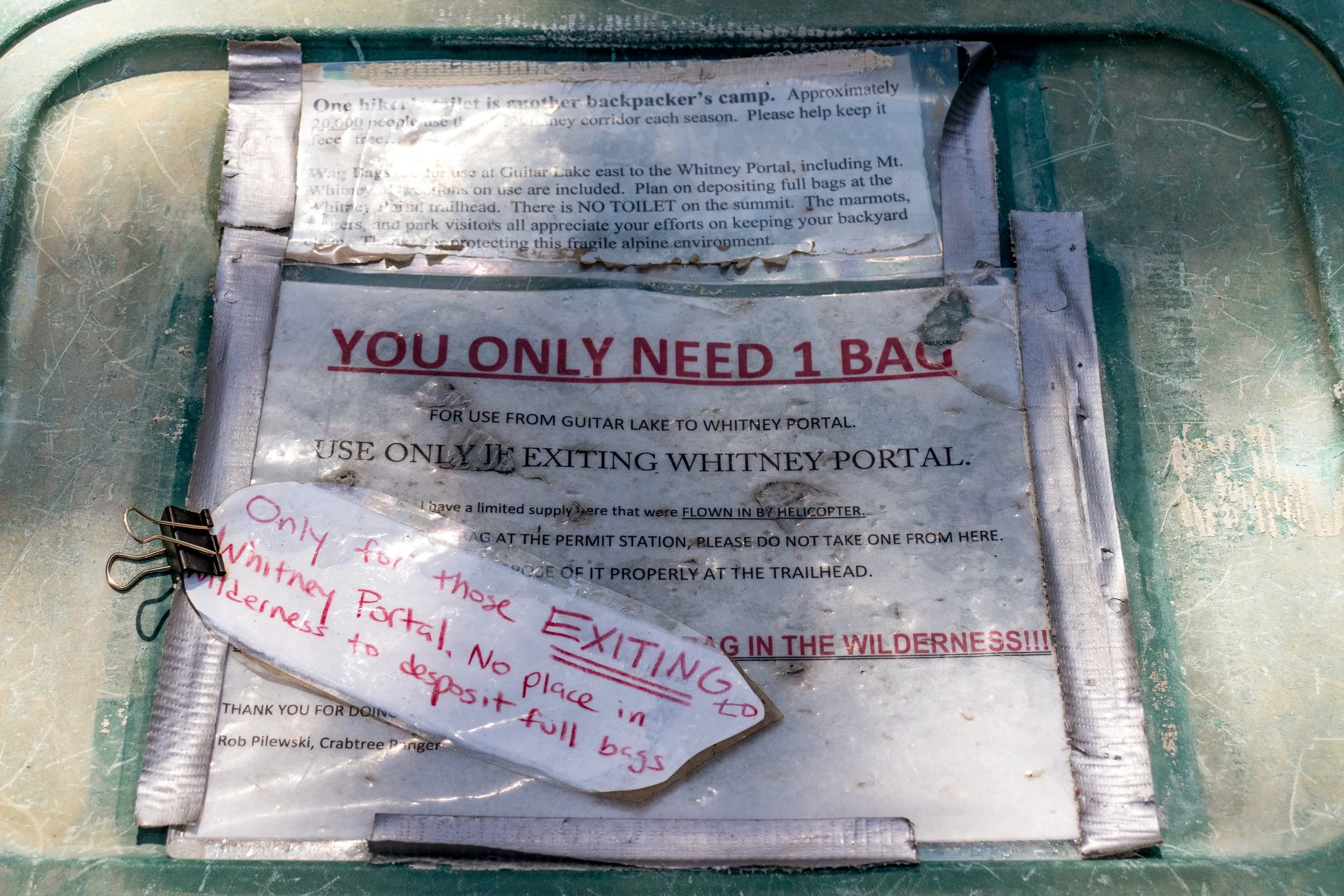
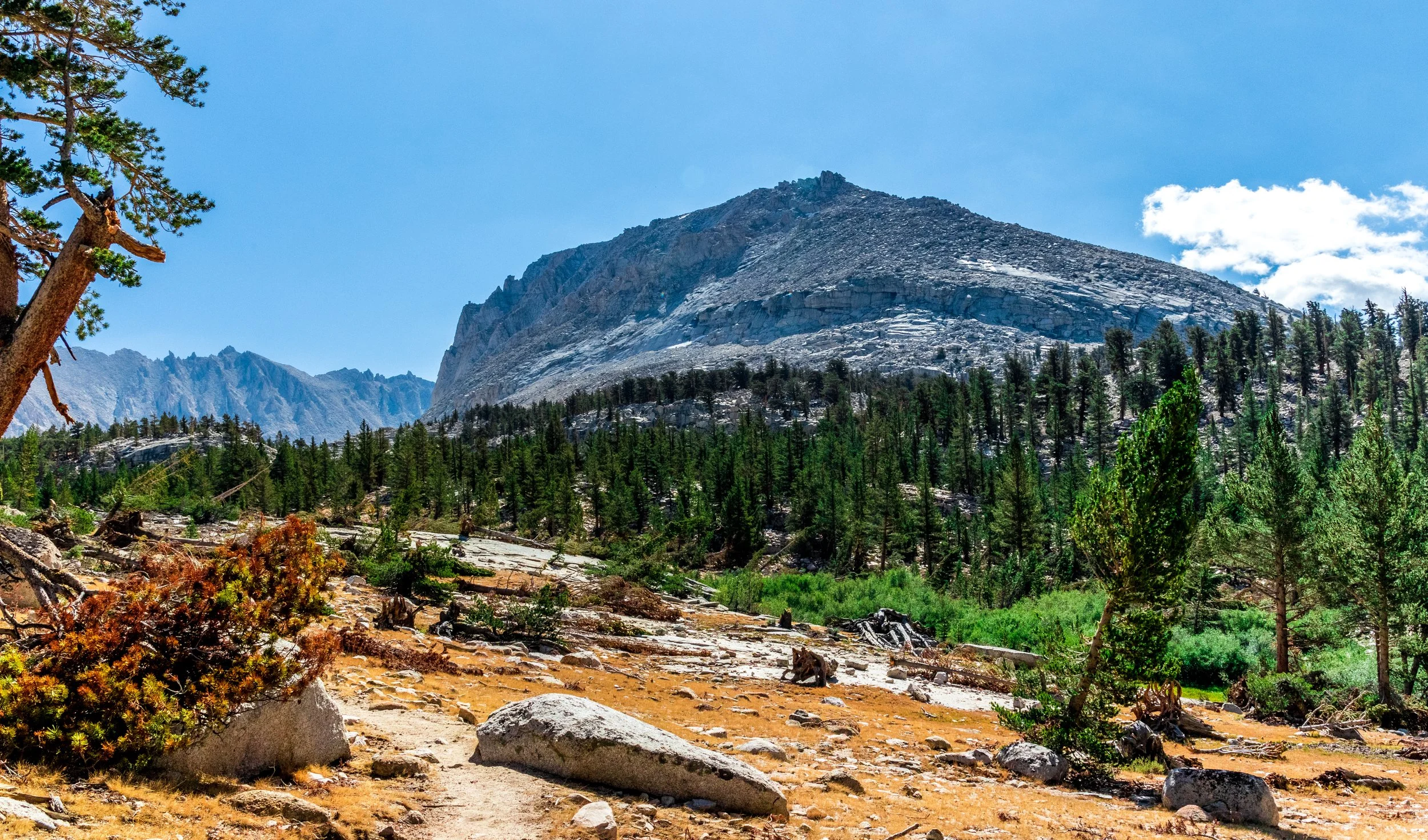
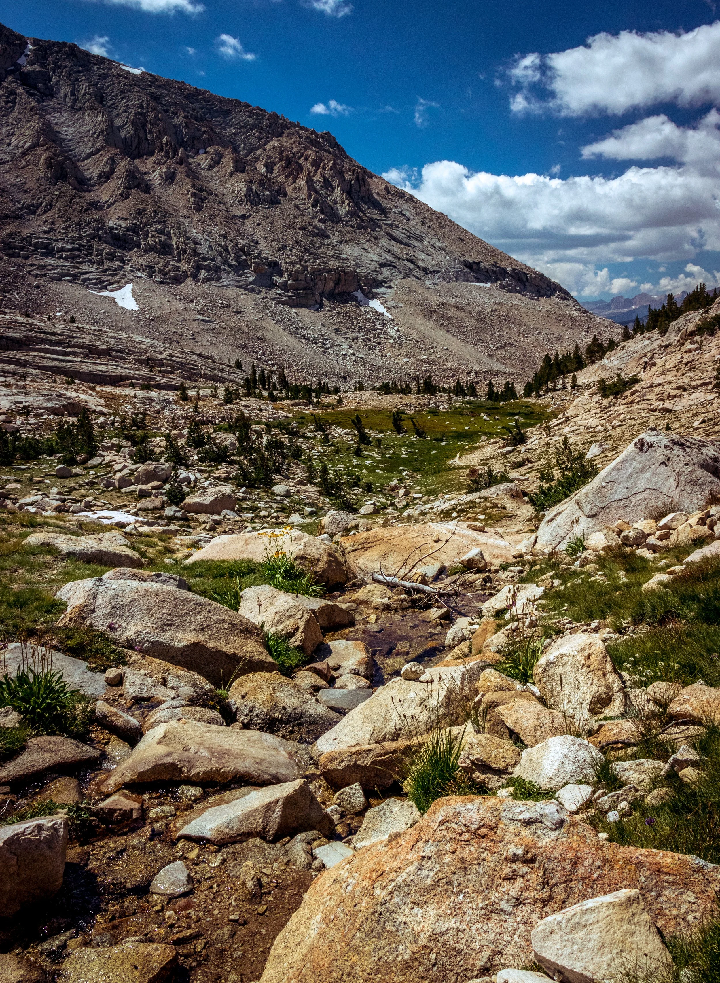
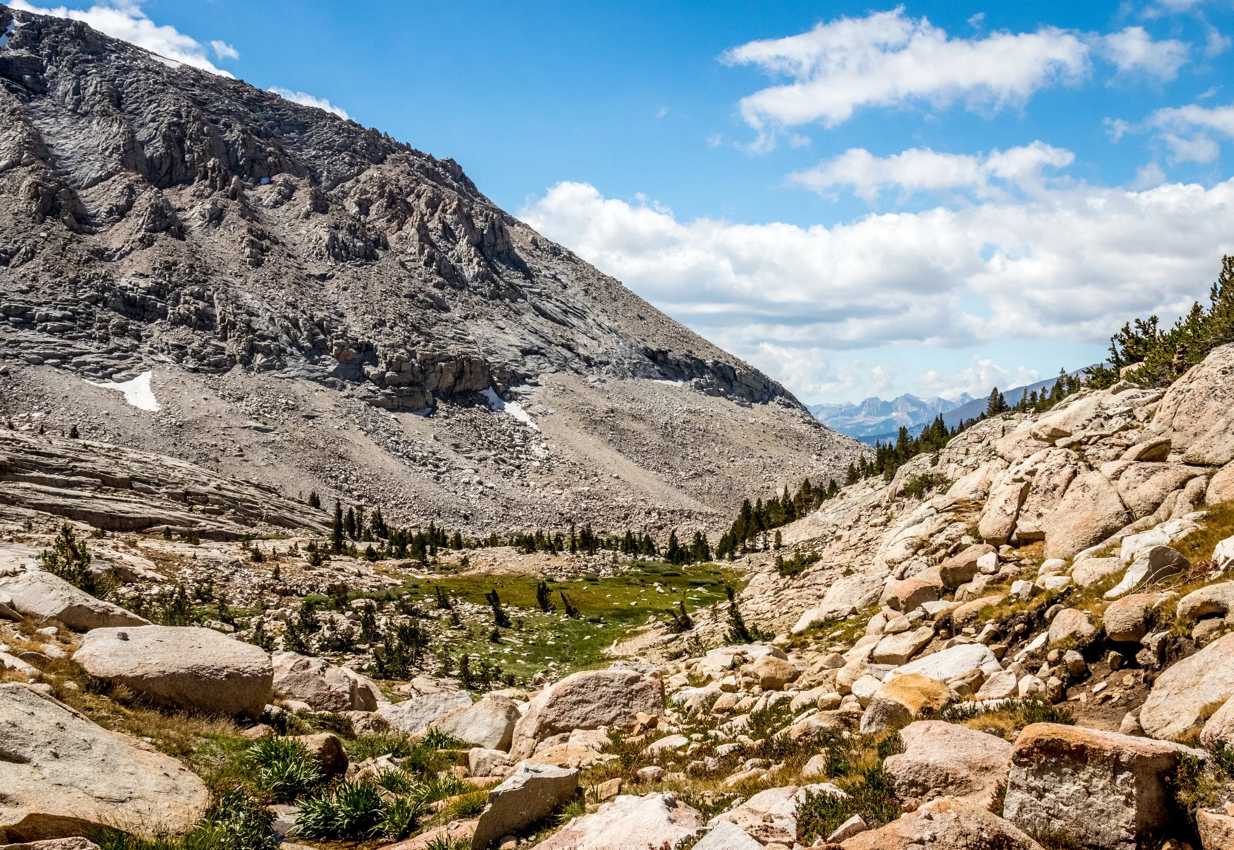
Photos from Day 4: