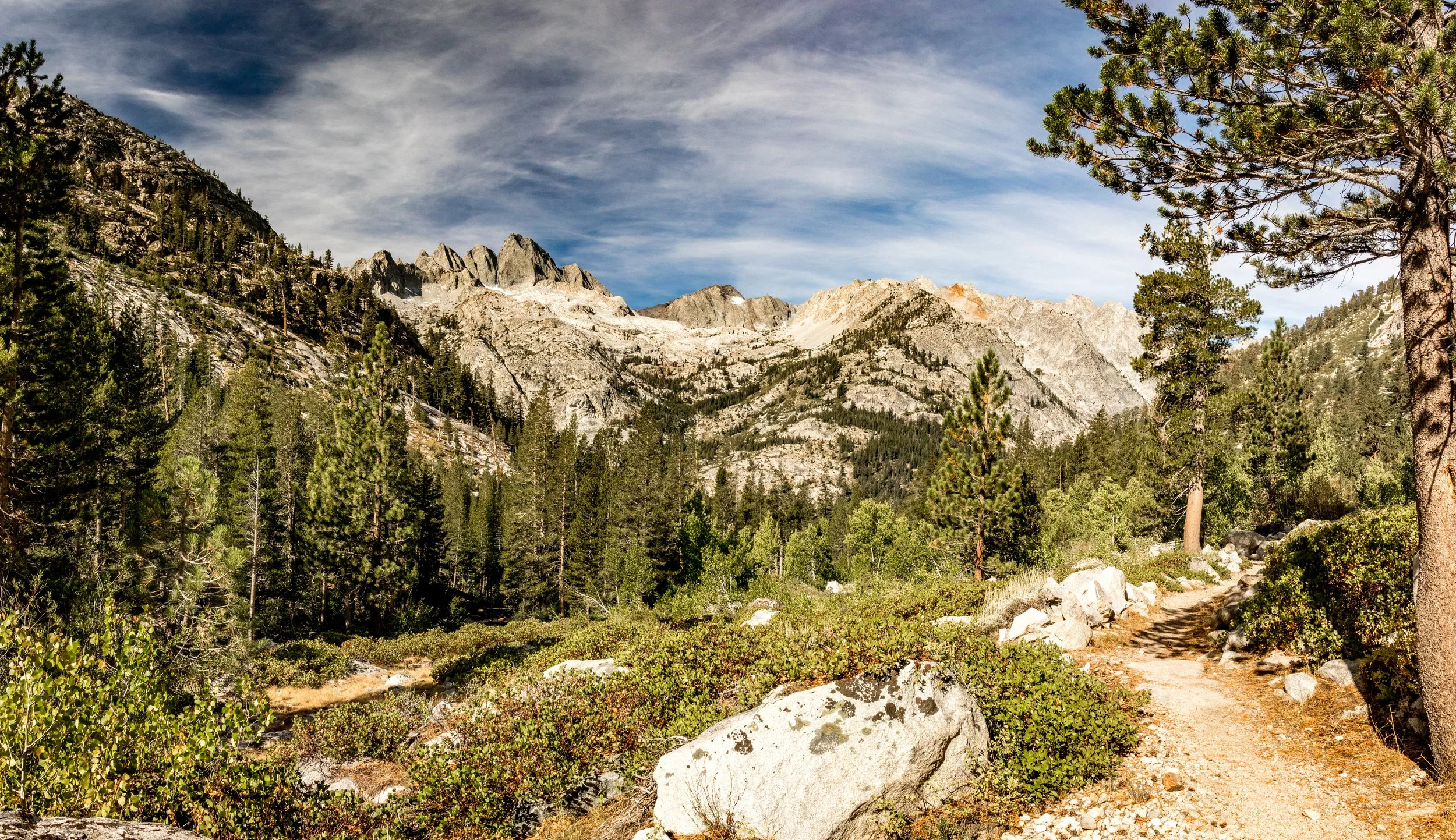
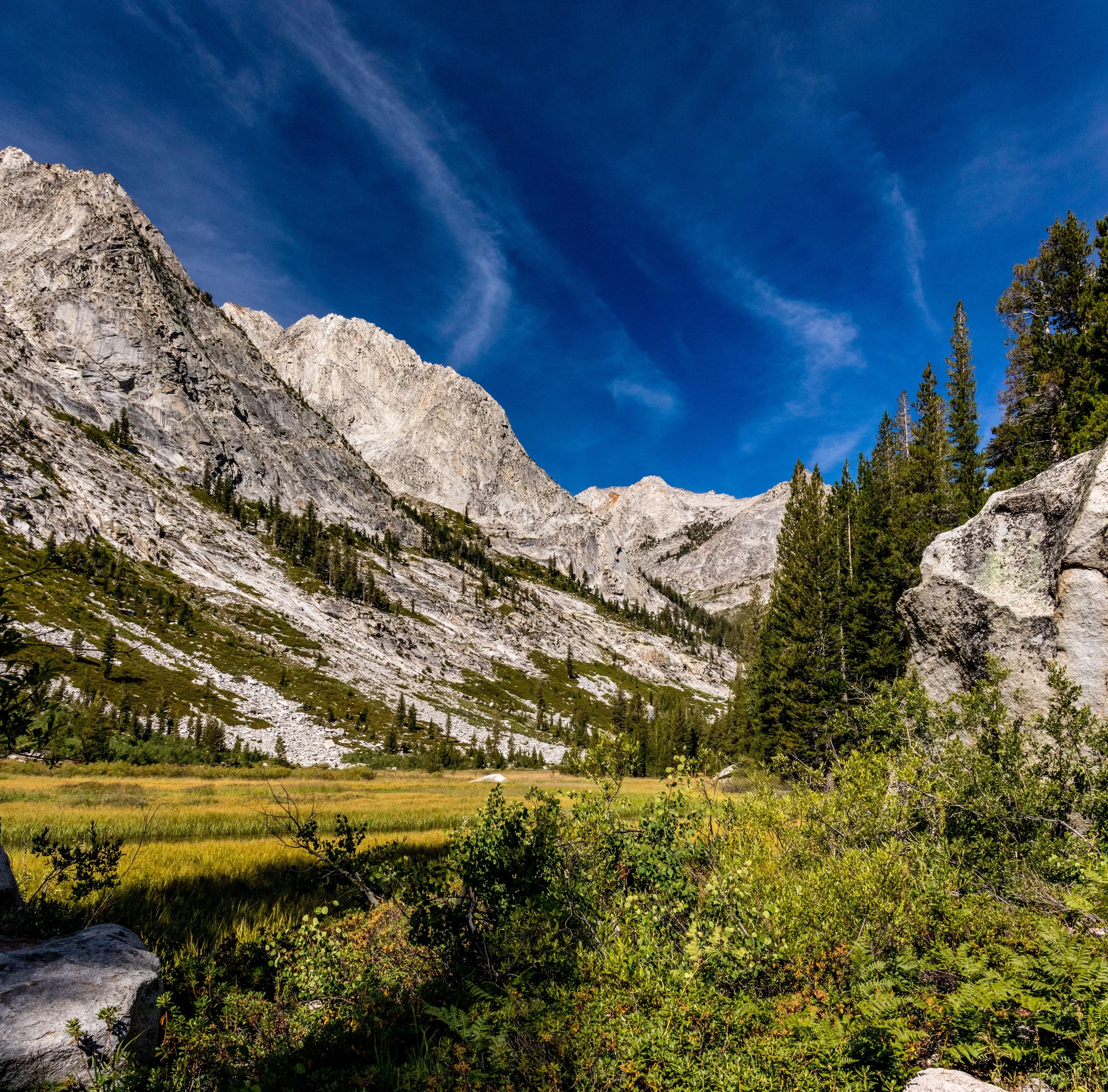
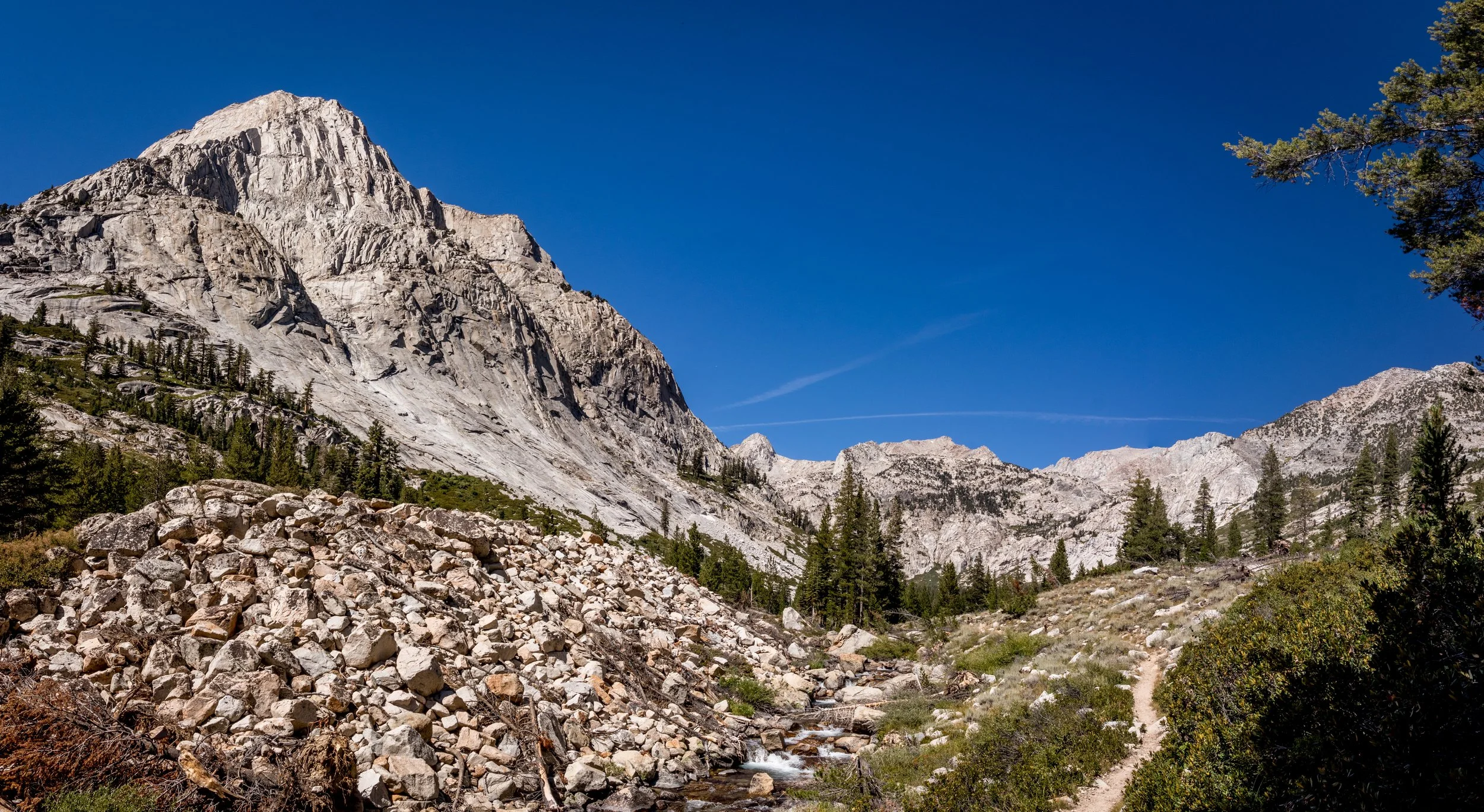
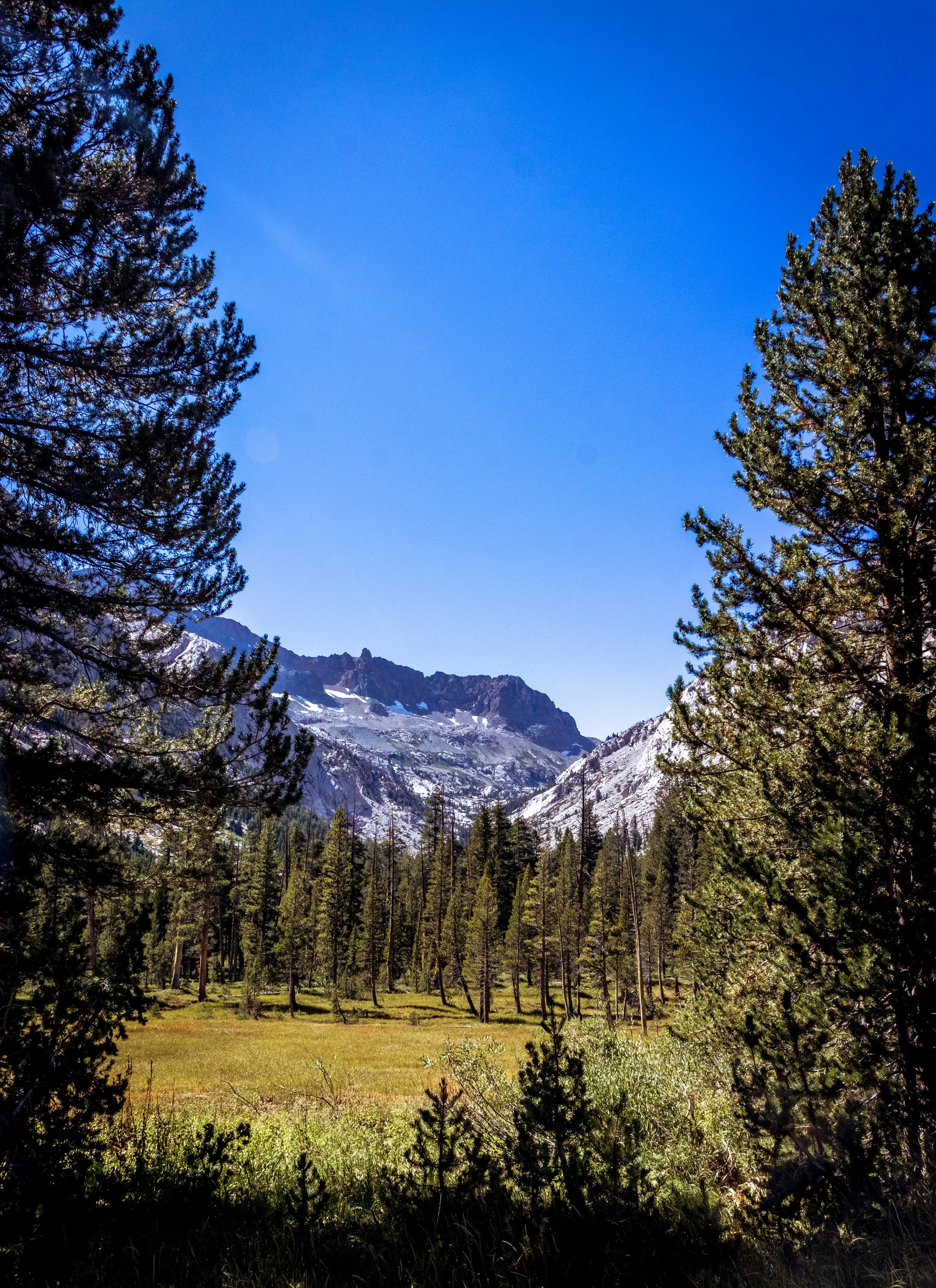
John Muir Trail: Day 13
From Deer Meadow Creek, along Palisade Creek, heading up Le Conte Canyon to my campsite near Starr’s camp. Just interested in the photos? Jump to my gallery page: Day 13

| Hiking Statistic | Value | Source |
| Miles Hiked | 11.7 | CalTopo |
| Maximum Elevation | 10,333 | CalTopo |
| Minimum Elevation | 8,040 | CalTopo |
| Elevation Gained | 2,837 | CalTopo |
| Elevation Lost | 1,358 | CalTopo |
| Calories Burned | 3,968 | FitBit |
| Steps | 33,536 | FitBit |
| Distance | 14 | FitBit |
| Floors | 113 | FitBit |
| Minutes Sedentary | 671 | FitBit |
| Minutes Lightly Active | 158 | FitBit |
| Minutes Fairly Active | 213 | FitBit |
| Minutes Very Active | 197 | FitBit |

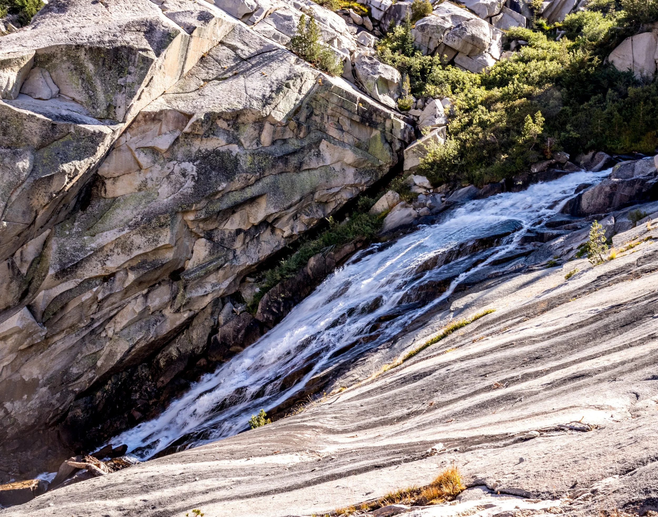
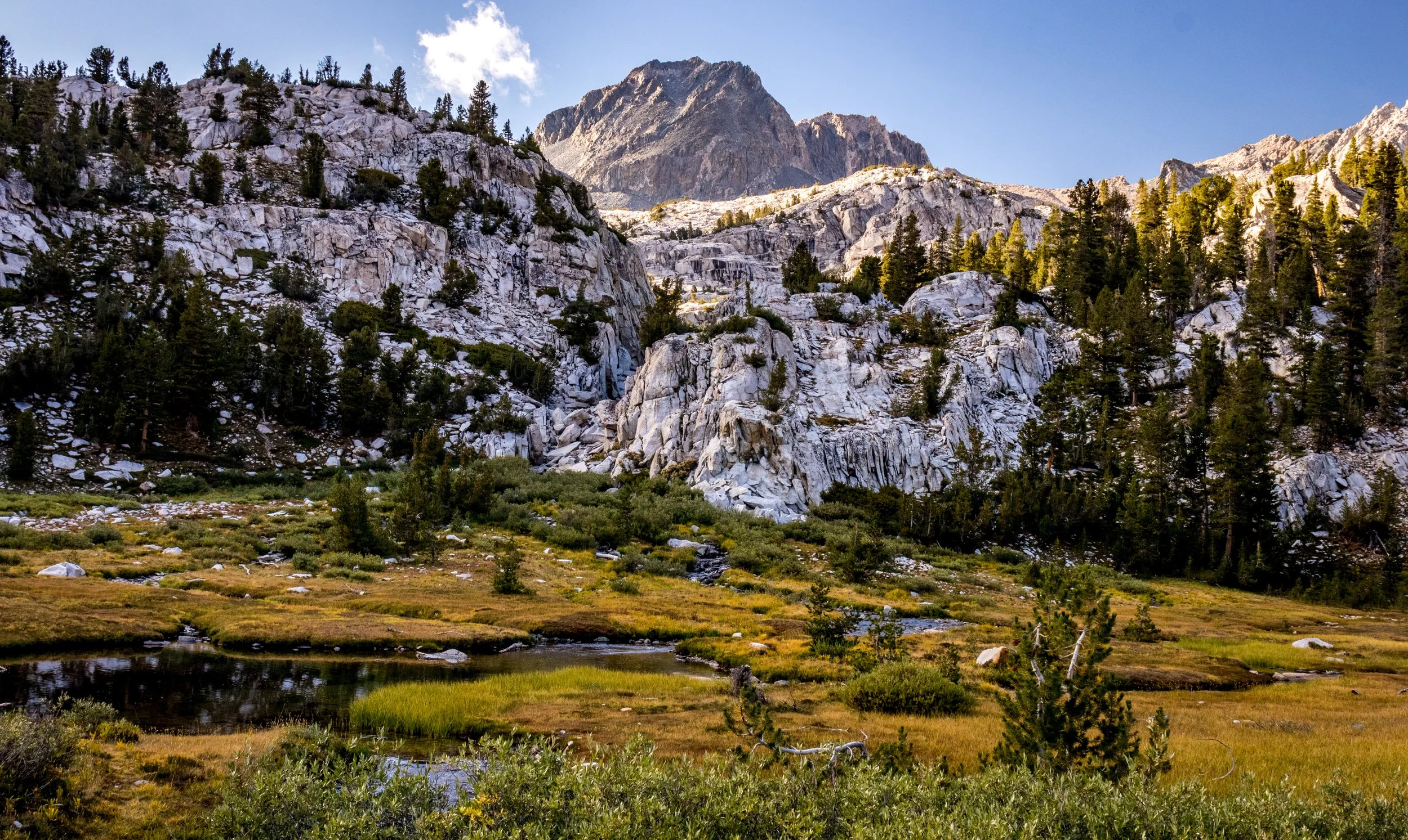
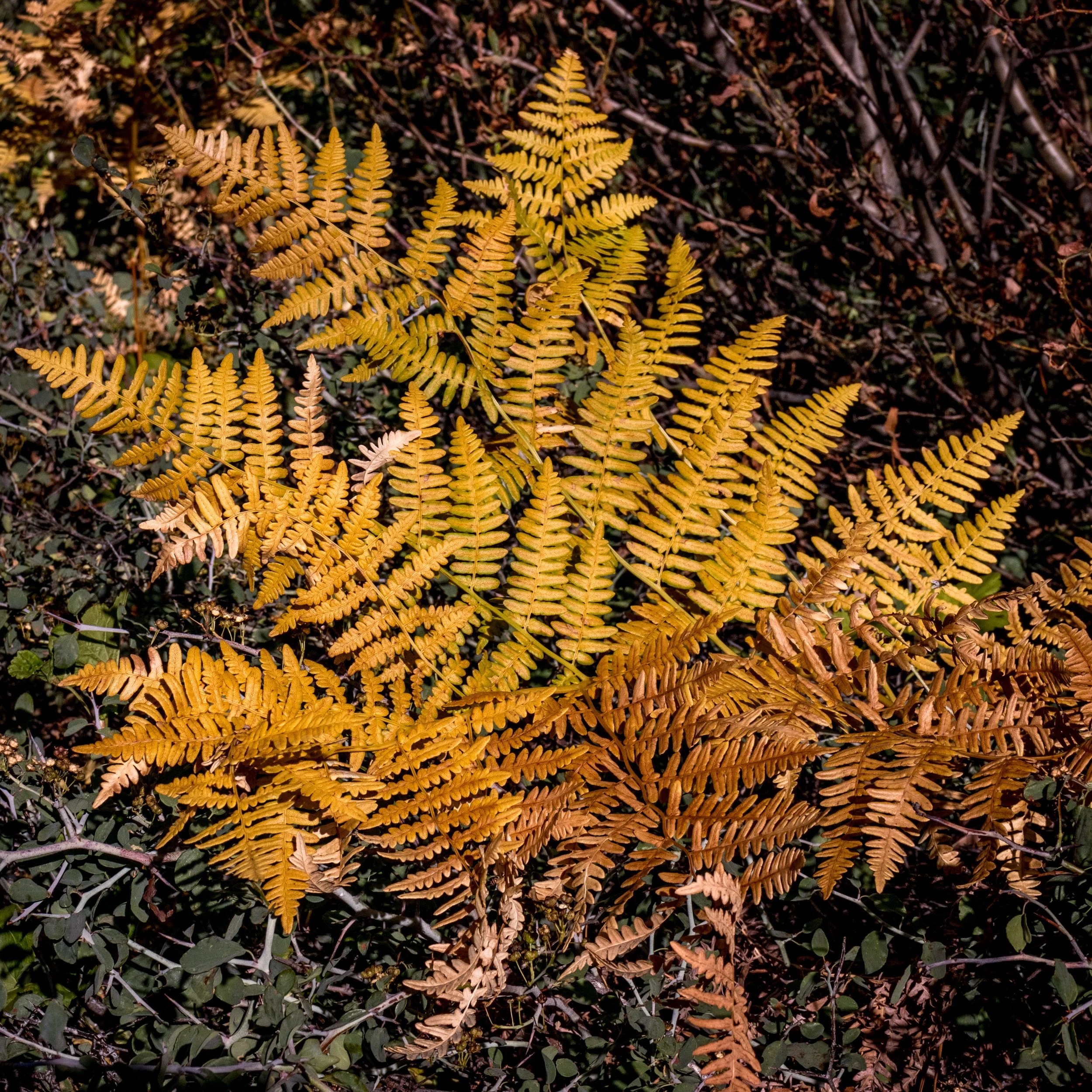
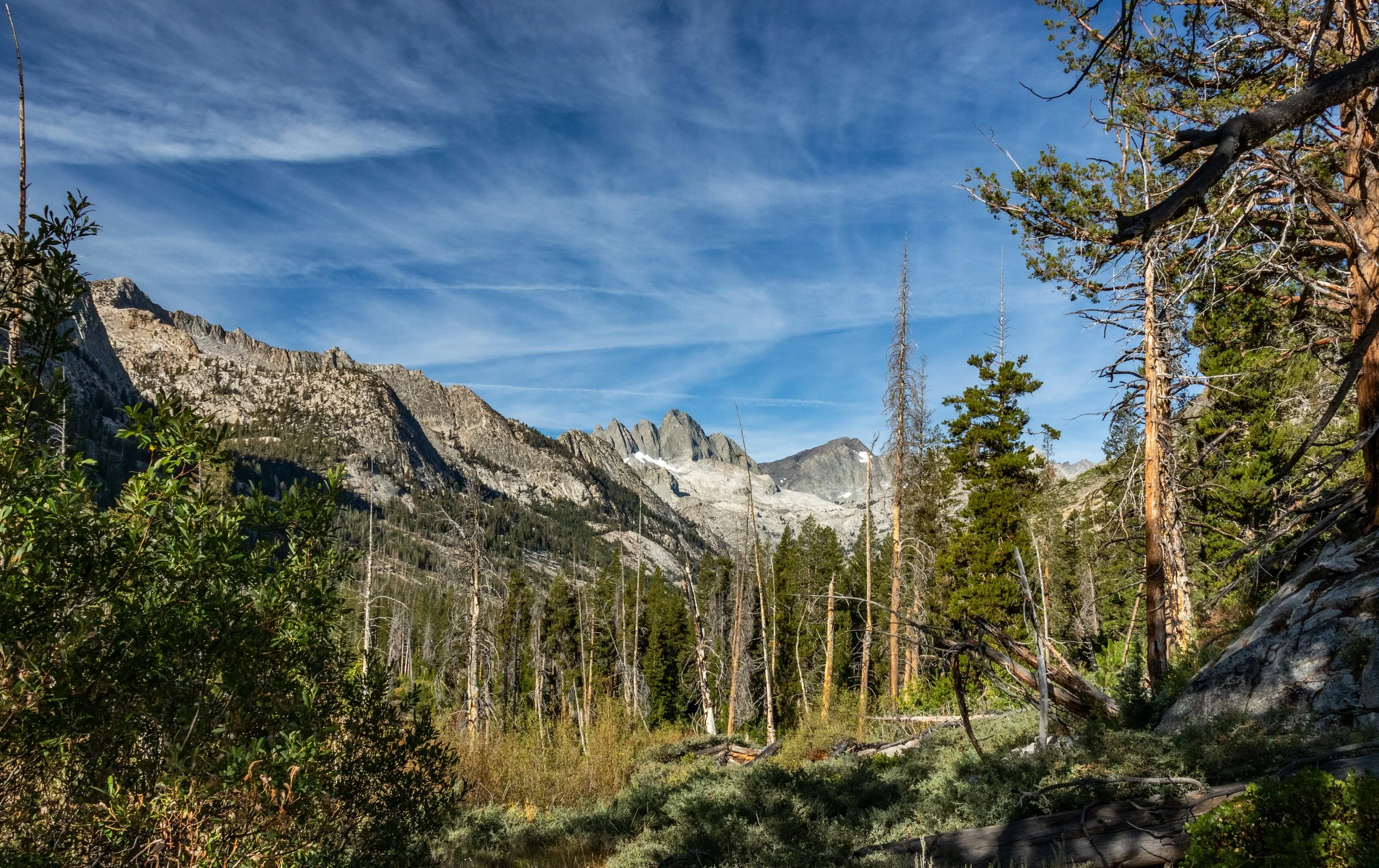
Photos from Day 13: