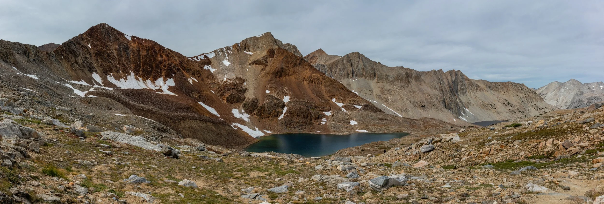
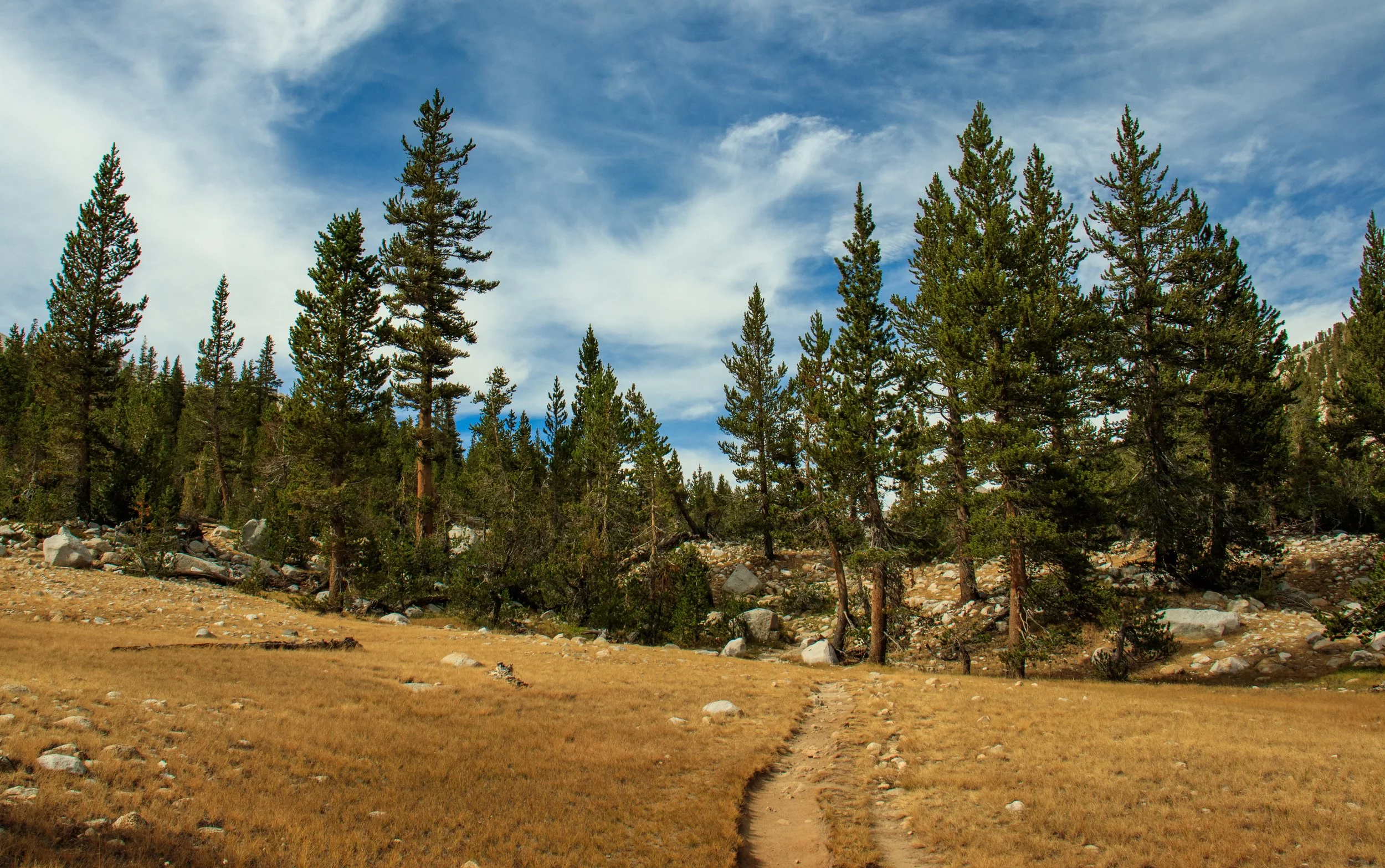
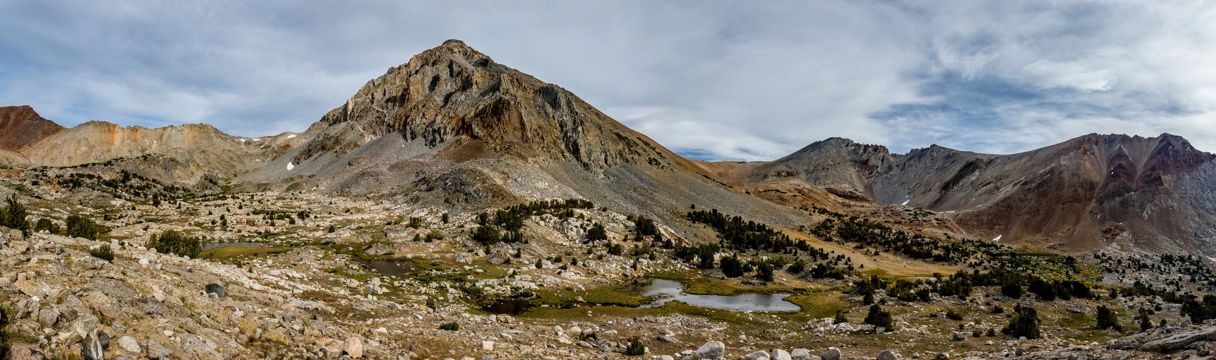
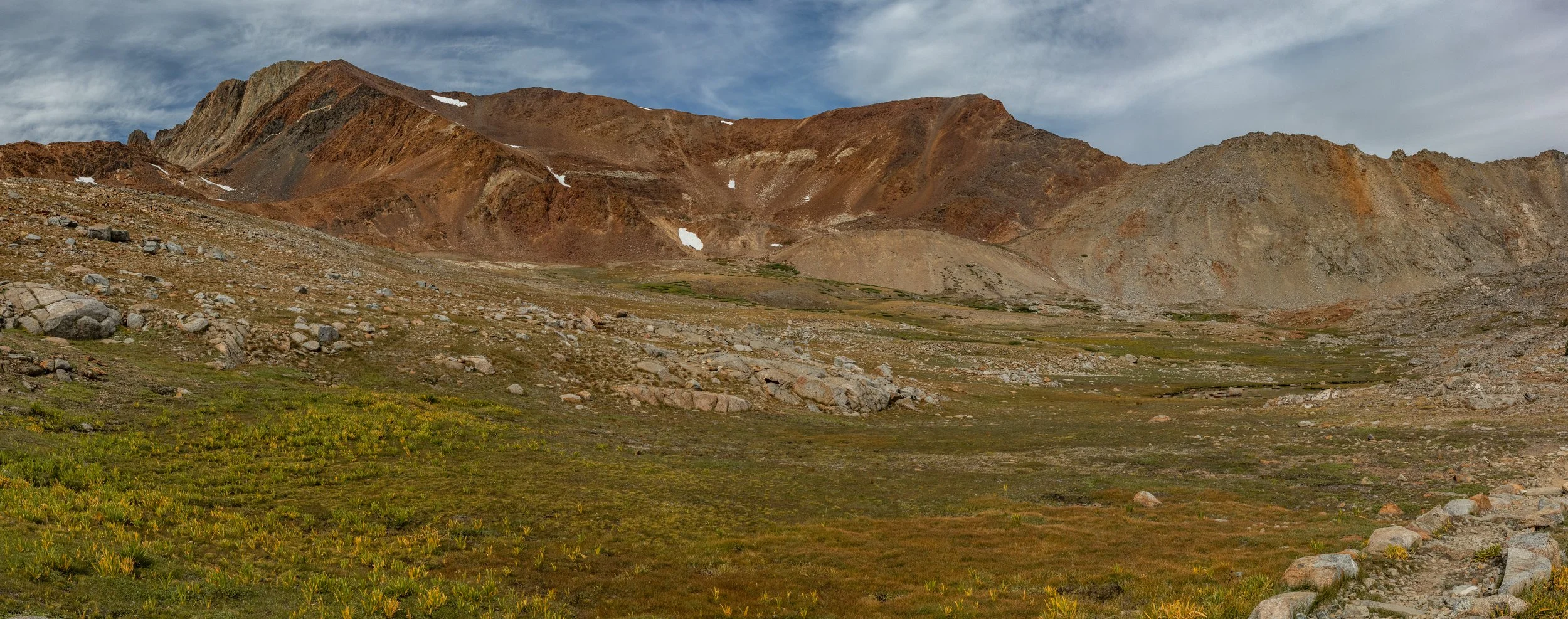
John Muir Trail: Day 11
From the Twin Lakes near Mount Cedric Wright over Pinchot Pass to my campsite near the upper South Fork of the Kings (Wenk site #9.03). Just interested in the pictures? Jump to my gallery page: Day 11

| Hiking Statistic | Value | Source |
| Miles Hiked | 9.16 | CalTopo |
| Maximum Elevation | 12,133 | CalTopo |
| Minimum Elevation | 10,045 | CalTopo |
| Elevation Gained | 2,214 | CalTopo |
| Elevation Lost | 2,348 | CalTopo |
| Calories Burned | 3,565 | FitBit |
| Steps | 29,412 | FitBit |
| Distance | 12.28 | FitBit |
| Floors | 134 | FitBit |
| Minutes Sedentary | 1,440 | FitBit |
| Minutes Lightly Active | 0 | FitBit |
| Minutes Fairly Active | 0 | FitBit |
| Minutes Very Active | 0 | FitBit |

Photos from Day 11: